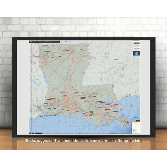
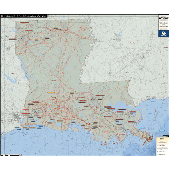
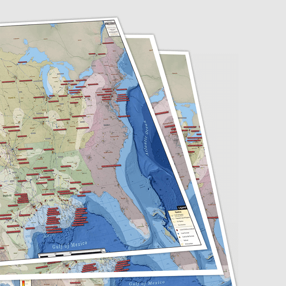
Louisiana Oil & Gas Infrastructure


$ 245.00
SSL Secure Payments
100% Money back Guaranteed
Delivery 1-7 Days
Payment methods


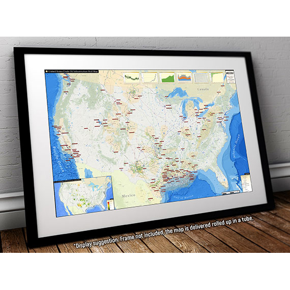
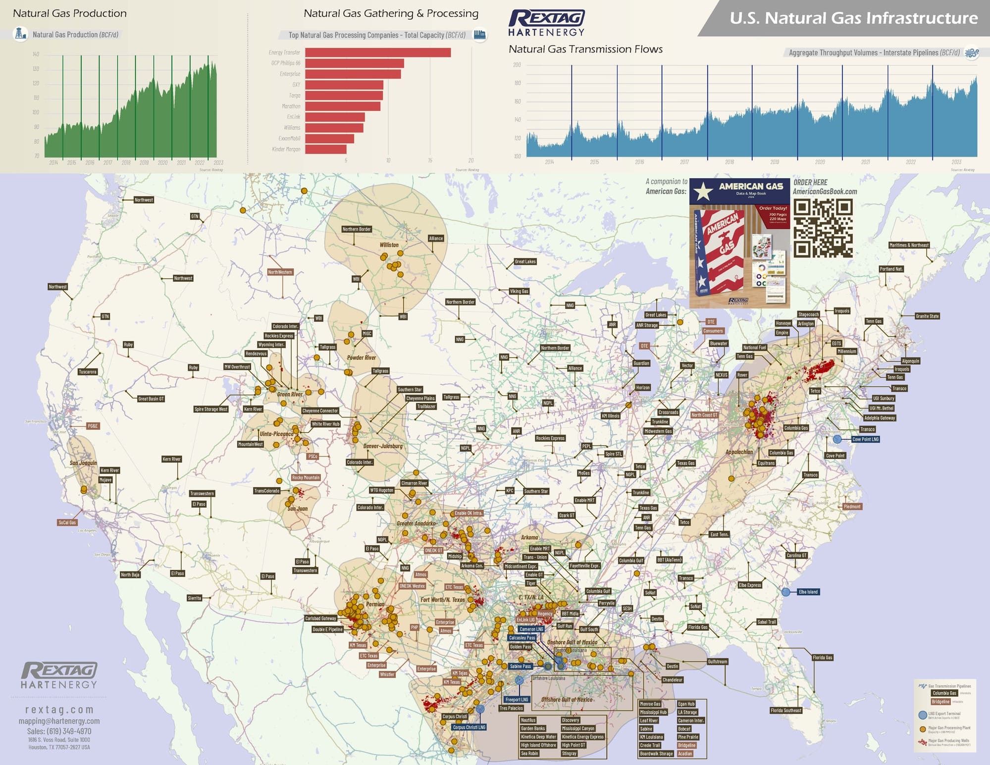
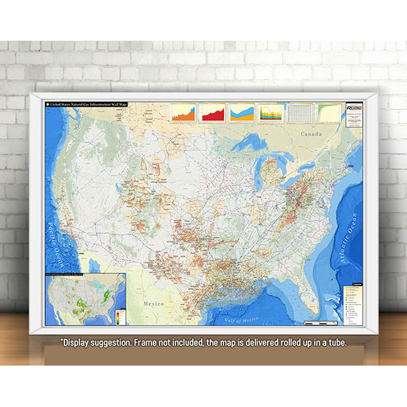
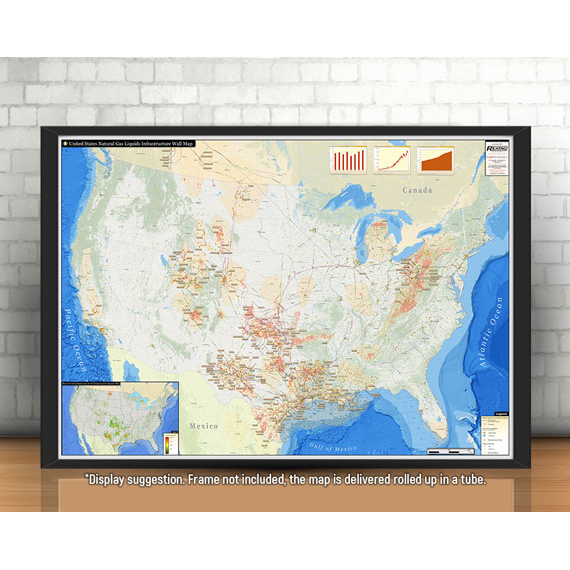
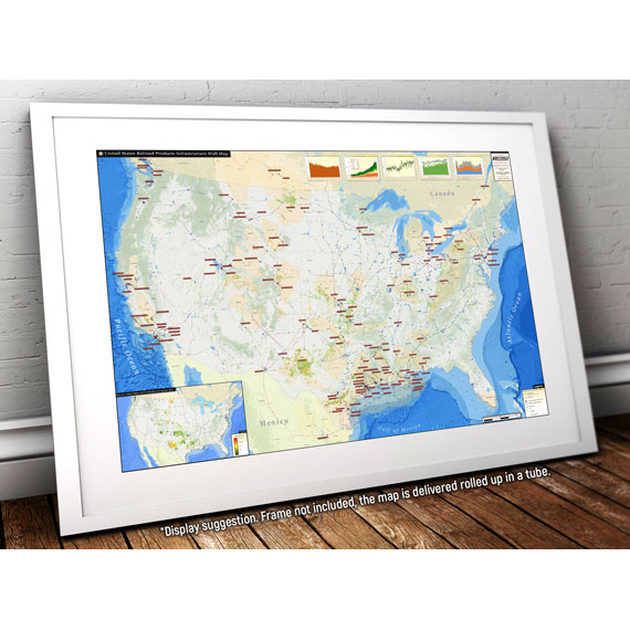
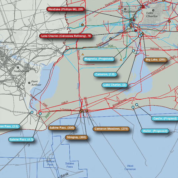
The Louisiana Oil & Gas Infrastructure Wall Map provides crucial infrastructure data in one of the busiest oil and gas processing states in the country. The superior design of this map provides the clearest possible view of the state’s abundant pipeline and facility data.
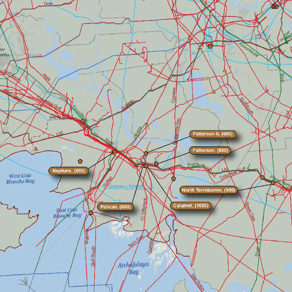
The Louisiana Oil & Gas Infrastructure Wall Map contains the following features:
(42" X 50")
- Crude oil, natural gas, gas gathering & distribution, refined products, other liquids, proposed pipelines (color coded and labeled)
- Gas processing plants (major plants are labeled with name and capacity)
- Crude oil refineries (labeled with name and capacity)
- LNG facilities (labeled with name and capacity)
- Gas storage facilities (major facilities labeled with name and capacity)
- Offshore groups (labeled with name)
Maps are printed on matte paper.

Featured products